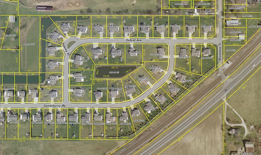
Over the last decade, GRW has provided extensive GIS and photogrammetric services for Madison County Council of Governments (MCCOG), located in Indiana. GRW completed a custom designed Internet-based GIS, and also provided aerial mapping, digital orthophotography and LiDAR services. The web page was created using ESRI ArcIMS software. The ArcIMS web page provides access to a wide variety of mapping and GIS data including: Half-foot Resolution Color Digital Orthophotography; Street Centerlines; Railroads; Hydrology; Parks; Schools; School District Boundaries; Census Data; County Boundaries; Incorporated Area Boundaries; and Zip Code Boundaries.
Users can view, print and query the mapping/GIS data using a combination of custom developed and off-the-shelf software. The website contains a detailed Help screen to assist inexperienced operators in accessing the detailed GIS database.
GRW provides a variety of GIS update services to MCCOG.


 MCCOG, IN - GIS Services